Revolutionary LiDAR Solutions
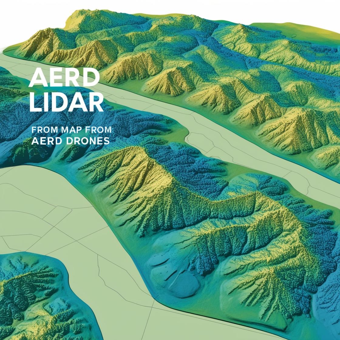
Precision mapping for land and sea elevation analysis.
Light Detection and Ranging (LiDAR) is a cutting-edge technology that uses laser pulses to measure distances and create highly accurate 3D maps.
Create detailed 3D maps for agriculture, construction, and urban planning.
Measure the elevation difference between land and sea for coastal management.
Analyze elevation changes and identify potential risks like landslides or floods.
Innovative, affordable, and precise LiDAR solutions.